
Is this the world’s longest walk? 24,262km from South Africa to China – what to see and countries to avoid
- Russ Cook’s epic run across the length of Africa inspired Post Magazine to try devising the world’s longest walk on Google Maps, complete with sites to visit
- Our hypothetical itinerary, taking into account visa regulations, sealed national borders and war zones, would take an estimated 5,532 hours
You might not be familiar with Plaatjieskraal Ghost Town in South Africa. I wasn’t, until I read about Russ Cook, who recently became the first person known to have run the length of the African continent.
The 27-year-old Englishman began his journey at Cape Agulhas, Africa’s southernmost point, and finished 16,300km (10,130 miles) away, in Tunisia. He crossed 16 countries in 352 days and, on completing the epic feat, admitted with typical British understatement that he felt “a little bit tired”.
Cook’s achievement soon had me poring over Google Maps in an attempt to devise an even longer running, or more realistically, walking route.
The itinerary would have to be hypothetical, as red-tape-ridden visa regulations, sealed national borders and battle-scarred war zones would halt a hiker in his or her tracks.

Which brings us back to Plaatjieskraal, which is just down the road from Cook’s Cape Agulhas departure point.
Built in the 1980s, the holiday resort was abandoned when its seaside properties became buried beneath sand drifts. But it just so happens to be situated in the right place to be the starting point for what is possibly the longest overland hiking adventure possible (in theory).
After a brief selfie stop at the southernmost tip of Africa – where the Atlantic and Indian oceans converge – our imaginary endurance athlete would make his way through South Africa to Botswana, pausing perhaps to join a safari in the ecologically biodiverse Okavango Delta.

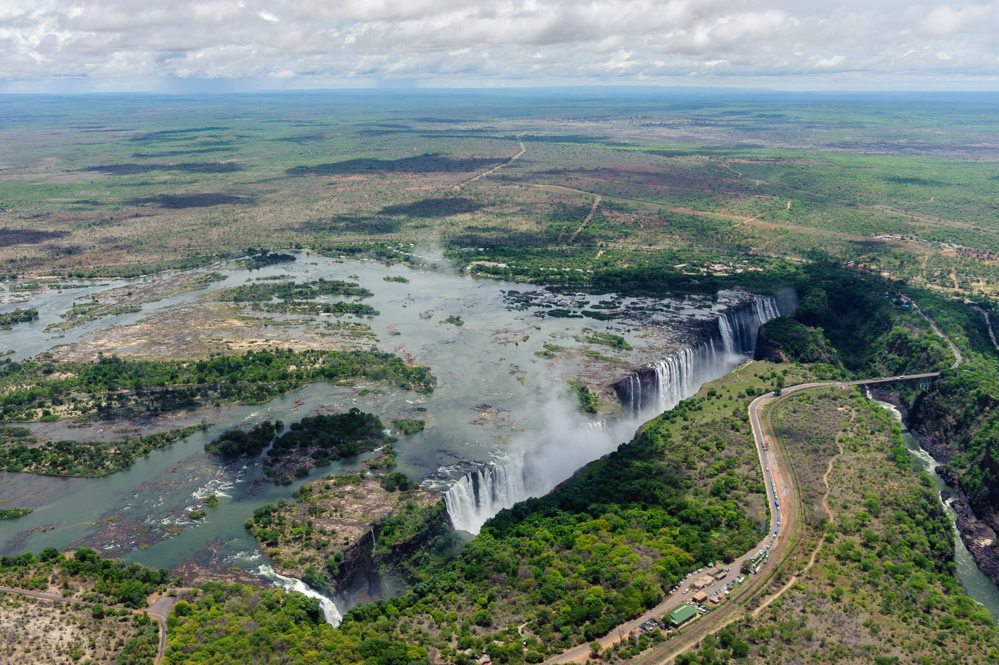
Google Maps’ blue-dotted routes indicate pedestrian-friendly pavements and paths that can be navigated on foot. From Botswana, the meandering dots lead to Zimbabwe then cross into Zambia at Victoria Falls.
Known to locals as Mosi-oa-Tunya or “the smoke that thunders”, the roar from the world’s largest single curtain of falling water can be heard 40km away.
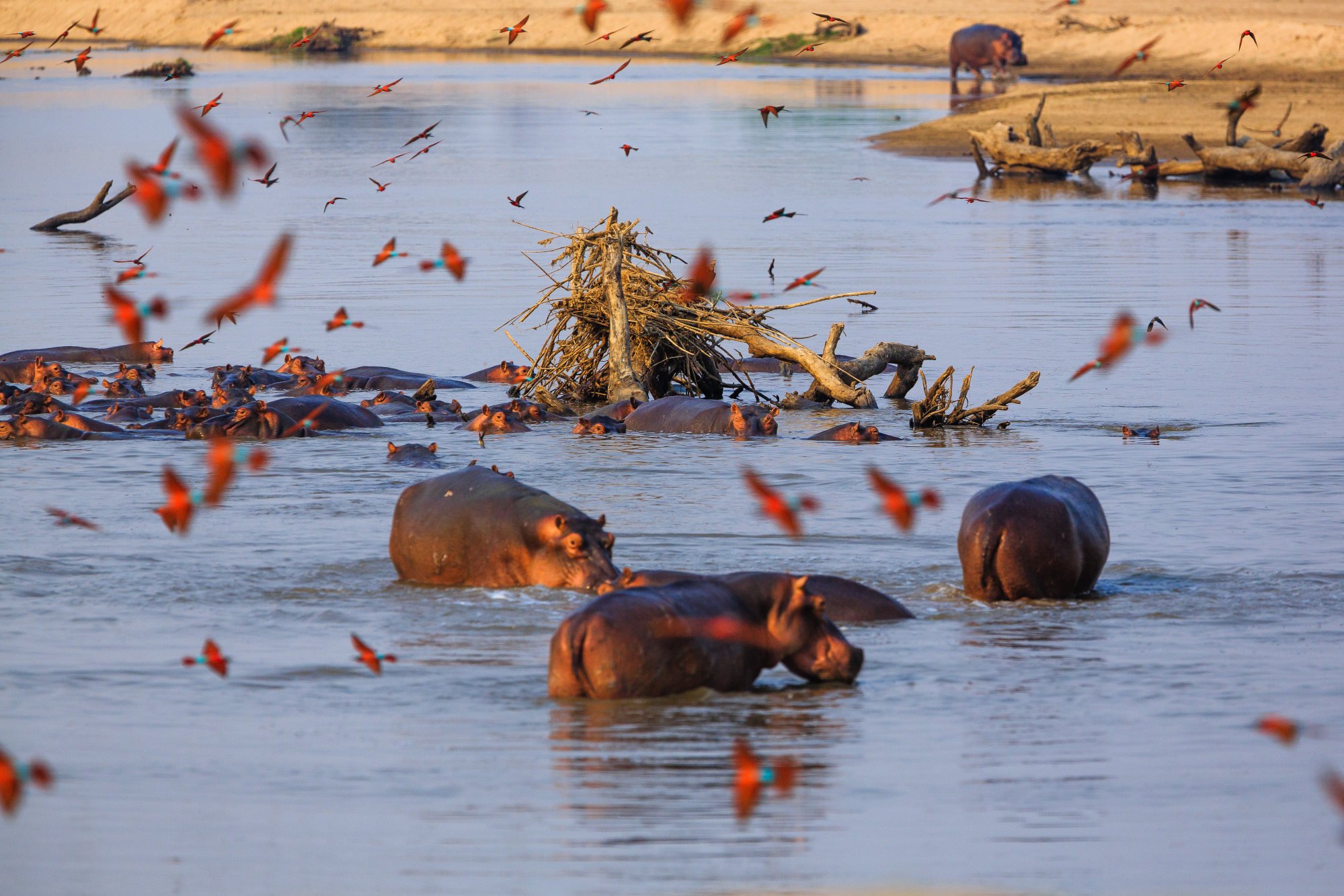
After negotiating a narrow sliver of Mozambique, our roaming nomad returns to Zambia. If he skipped a safari in Botswana, he should definitely go on one in Zambia’s South Luangwa National Park, which boasts one of the highest concentrations of wildlife in Africa.
Tanzania is the next nation to negotiate. East Africa’s biggest country is home to the Serengeti National Park, which isn’t short of wild animals either. Then there’s the Zanzibar archipelago with its washing-powder-white beaches and Unesco-designated Stone Town, where African, Arab, Indian and European influences collide.
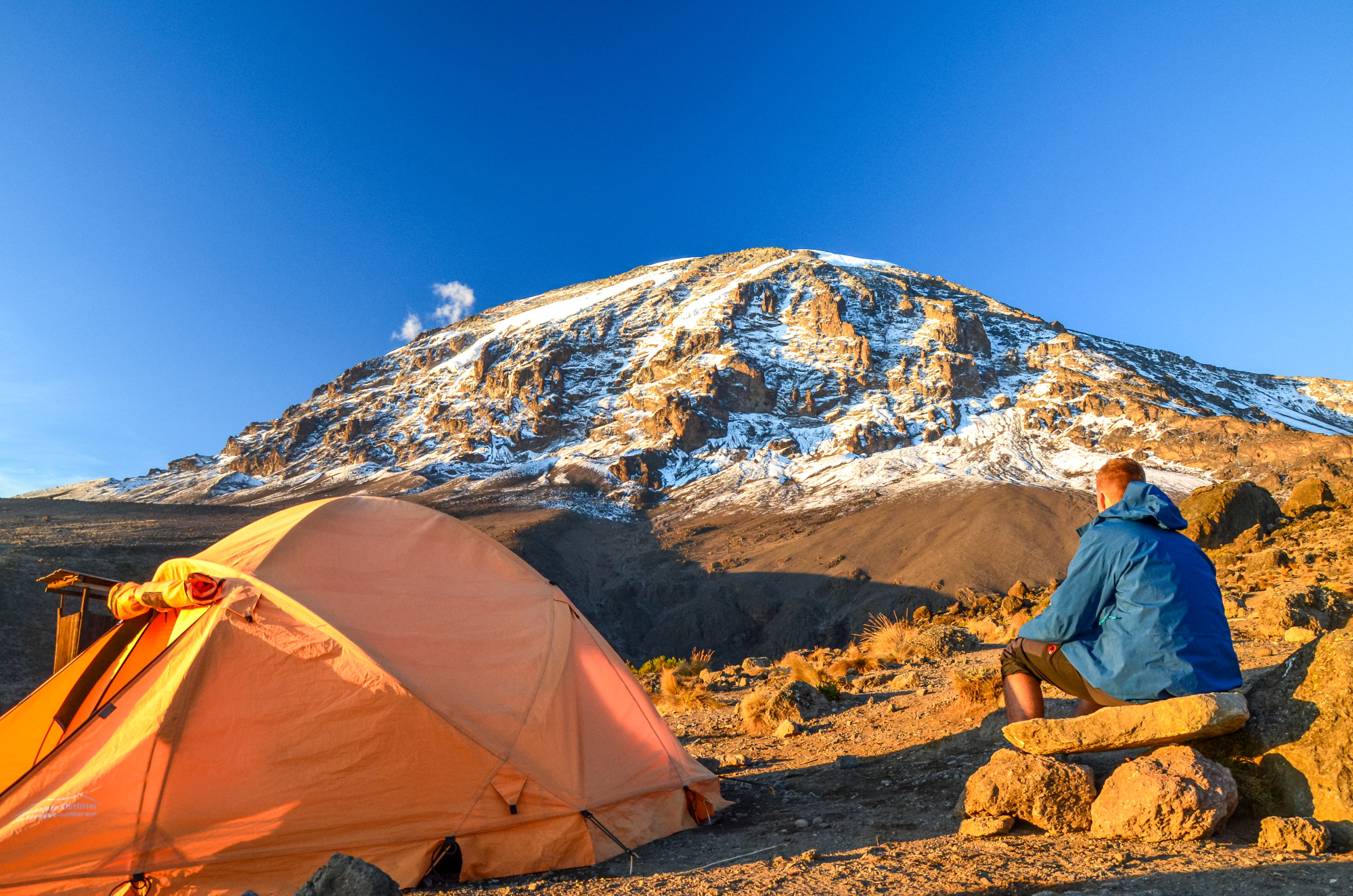
Kilimanjaro is Africa’s tallest peak but it might be one detour too many for our intrepid trekker, who would probably be on his third or fourth pair of hiking boots by now.
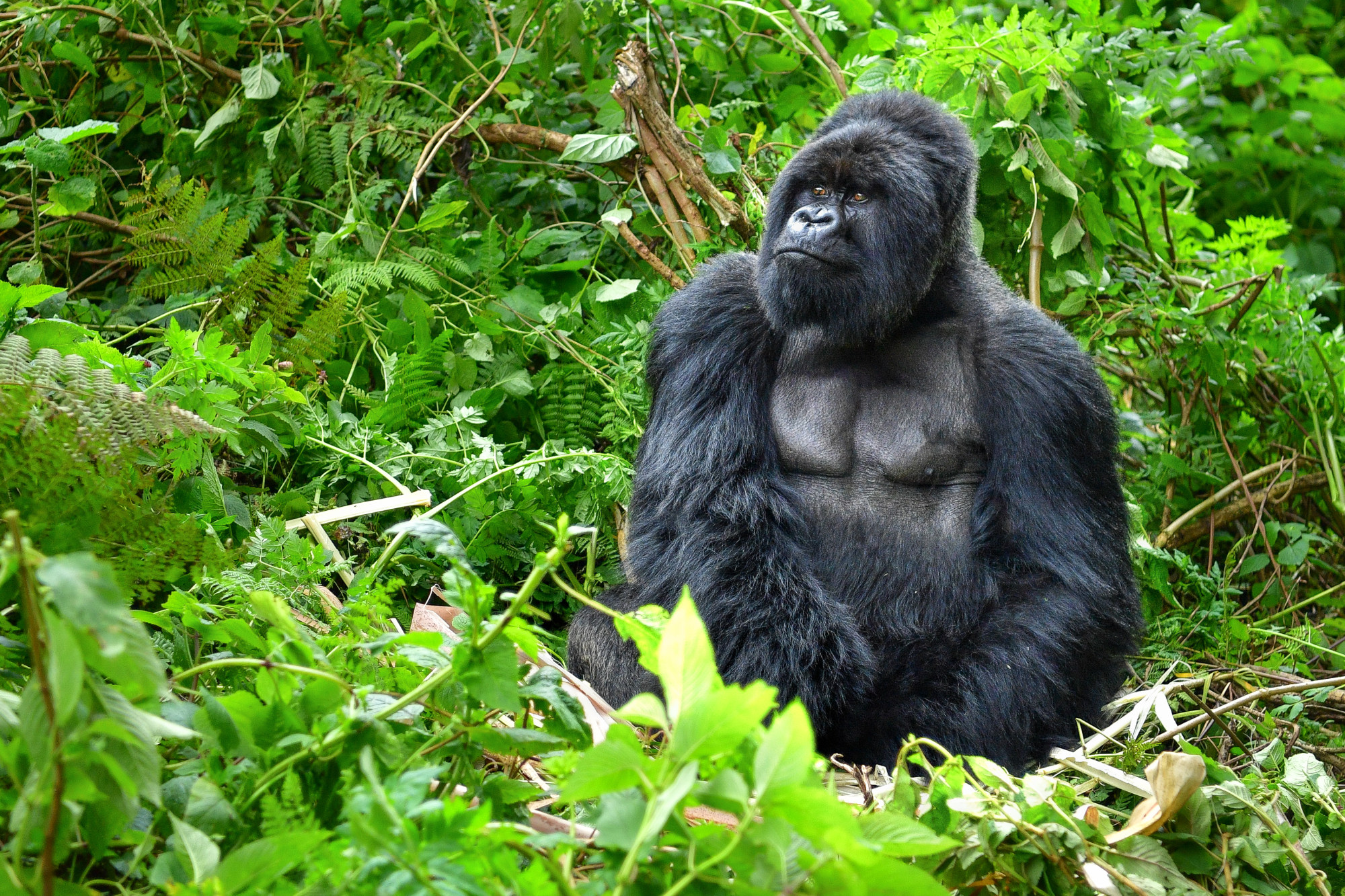
Instead, the route continues into Uganda, which is one of the best places to see mountain gorillas in their natural habitat. More than half the global gorilla population lives on the slopes of the Mgahinga and Bwindi Impenetrable national parks.
Established in 2011, South Sudan is the world’s newest country but one best avoided because of the current security situation (kidnappings, ambushes, robberies) and threat of armed conflict.
Things are just as perilous in neighbouring Sudan, so our tireless trailblazer might have to pause awhile in Uganda and wait for a thaw in relations.
If he could find a way of continuing, Google Maps would direct our indefatigable globetrotter to Egypt. He’d stop at Abu Simbel to admire the colossal sandstone statues built to honour the god-king Ramses II before pressing on to Luxor and the Valley of the Kings, the elaborate burial site of the pharaohs.
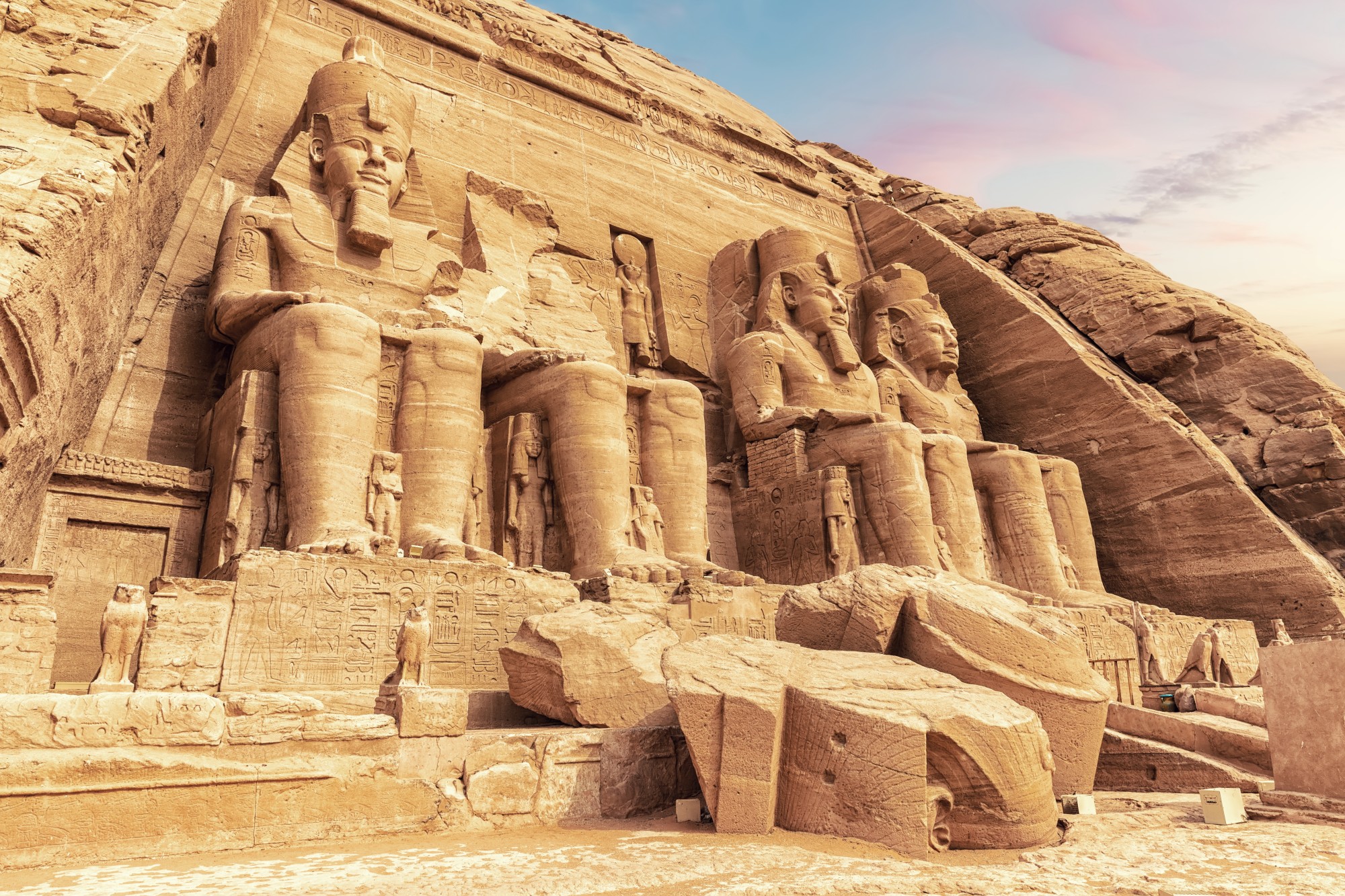
From here, Google’s blue dots lead around the Gulf of Suez and across the Sinai Peninsula.
Given current geopolitical uncertainty, perhaps the best way to proceed would be via Jordan rather than through Israel and war-torn Syria. This would open the way for a visit to Petra’s tombs and temples, cave dwellings and giant amphitheatre.
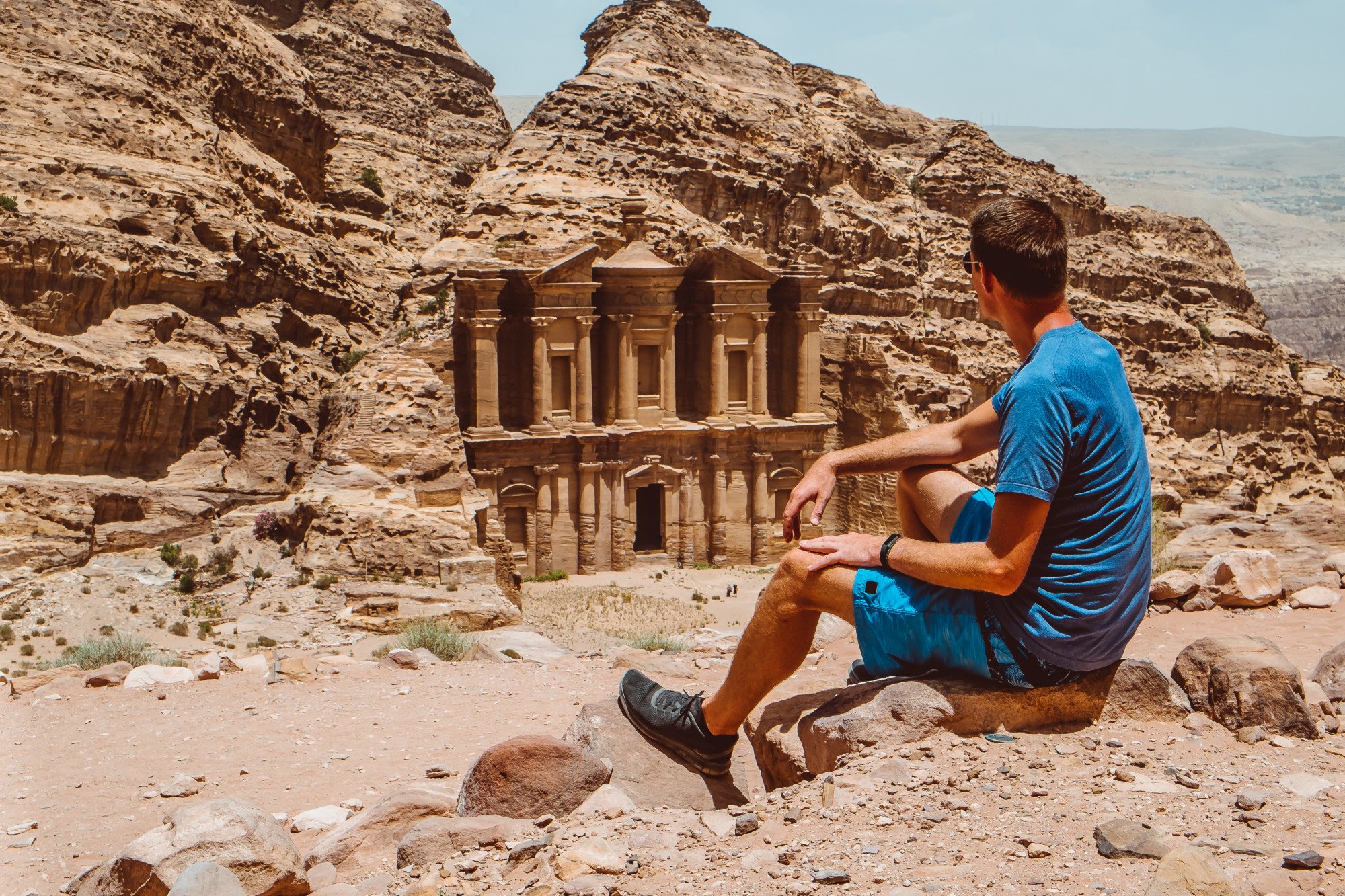
The rose-red city was carved out of the rock with chisels and pickaxes by Arab traders known as the Nabataeans and the desert settlement they created became a busy merchant caravan outpost.
Continuing eastward brings our footsore Phileas Fogg-alike to Iraq, which is safer today than it has been for decades. Tour groups are returning and locals are keen to befriend foreign sightseers.

After visiting Baghdad, and crossing the Tigris River, Iran, Afghanistan and (eventually) Russia beckon. In more politically stable times, all three would be fascinating to explore but for now, our long-distance rambler will have to give each a wide berth.
Pakistan also has security issues but is relatively safe for vigilant wayfarers. It would be prudent, however, for our blister-footed hero to register with his consulate and employ the services of a local guide.
For truly stunning scenery, our weary walker might consider a detour from Google’s suggested itinerary and – energy levels permitting – head north into the foothills of the Himalayas.
India is next. The Golden Temple at Amritsar is revered as the holiest shrine for Sikhs and merits a morning of mindful meditation, regardless of one’s religious persuasion.
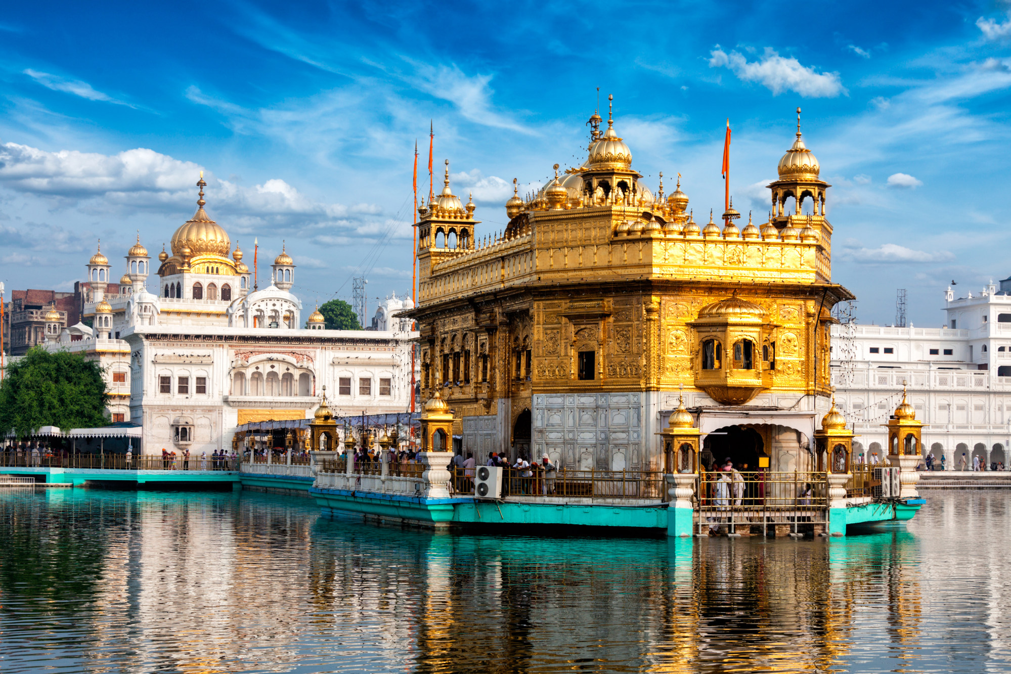
Then it’s back to the blue-dotted road, which skirts the capital, New Delhi, and briefly crosses into Nepal, where the Annapurna Circuit awes novice hikers with snow-capped peaks, lush valleys and alpine forests.
Experienced trekkers make a beeline for the remote Dolpo and Upper Mustang regions, known for their vistas and eye-watering trekking permit fees.
Back in India, the route meanders through the states of Sikkim and West Bengal, where we find the high-altitude tea-growing region of Darjeeling. The former British hill station affords magnificent views of Kanchenjunga, the world’s third highest mountain.
After skirting north of Bangladesh, our (by now) exhausted explorer will reach Myanmar. Google’s suggested route leads straight through Pyin Oo Lwin, another former British hill station that comes with golf courses, botanical gardens and planters’ bungalows.
Sadly, the ongoing civil war means the country formerly known as Burma is another destination best put on hold until less volatile times.
On then to Laos and a detour to the picturesque World Heritage site of Luang Prabang, which is situated on a bend of the Mekong River.

The Vietnamese capital, Hanoi, merits a few days of exploration and is a good place to buy some new hiking boots, get a haircut and do some laundry. If our worn-out wanderer still has a spring in his stride, he might consider exploring the otherworldly limestone pinnacles and rice paddies of Ninh Bình, south of Hanoi.
China is the 17th and final country of our transcendent trek. There are also limestone formations around Guilin, although its nearby mini-me, Yangshuo, is even more photogenic.
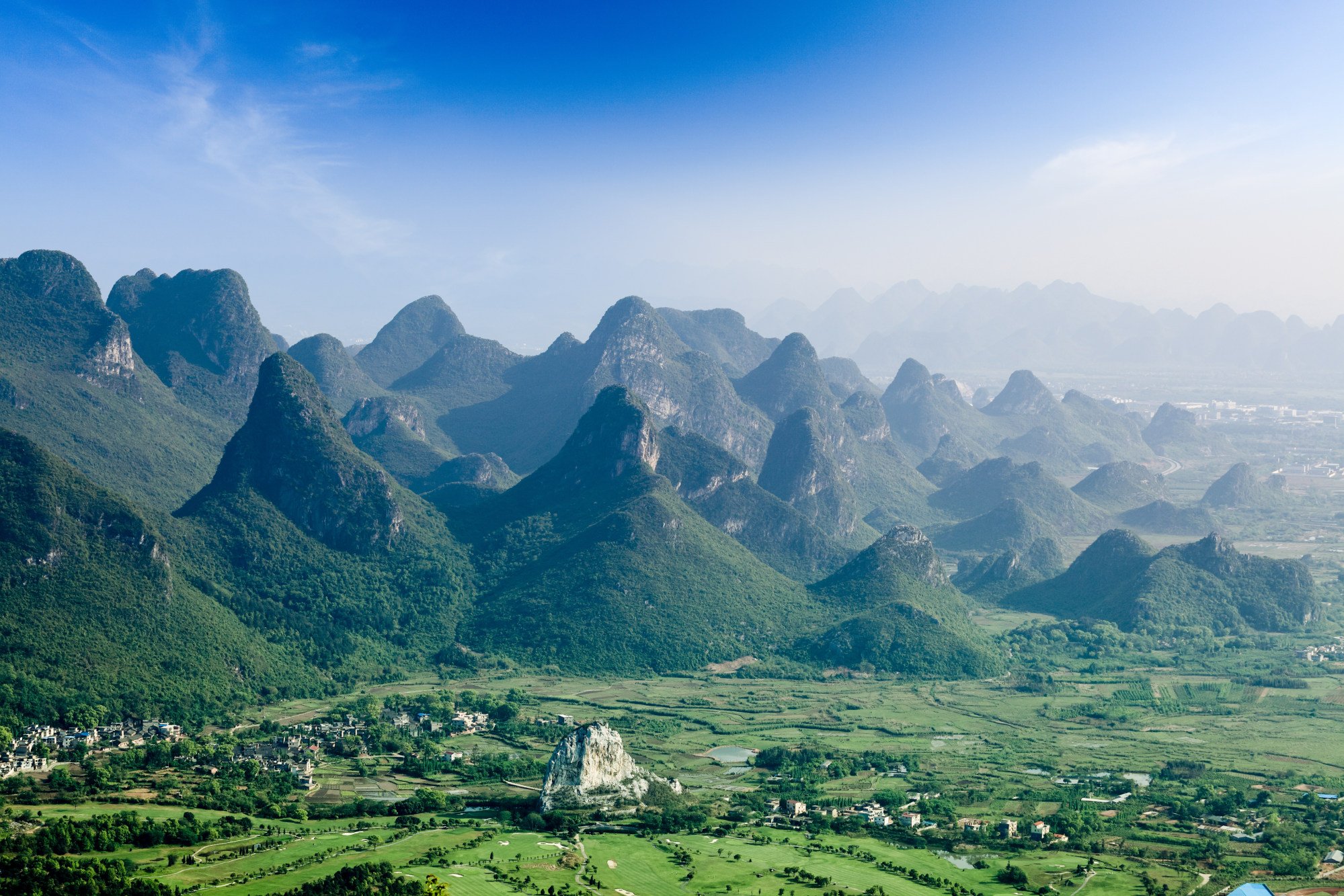
The blue Google dots follow the Yangtze River before continuing to Tianjin, Inner Mongolia and finally, the province of Heilongjiang, where our fictitious footslogger would find his way to Longjiang No 1 Bay Scenic Spot.
From the lookout point he could gaze across the mighty Amur River (the world’s 10th longest) and reflect on a 24,262km walk that began in a South African ghost town and finished at the Sino-Russian border.
From start to finish, the hypothetical hike would have taken 5,532 hours – give or take the odd flood in Uganda or landslide in Pakistan. But as Google Maps points out in a disclaimer, “Use caution – walking directions may not always reflect real-world conditions.”

